
Wy-Adapt Sites




Snowtography Visualizer
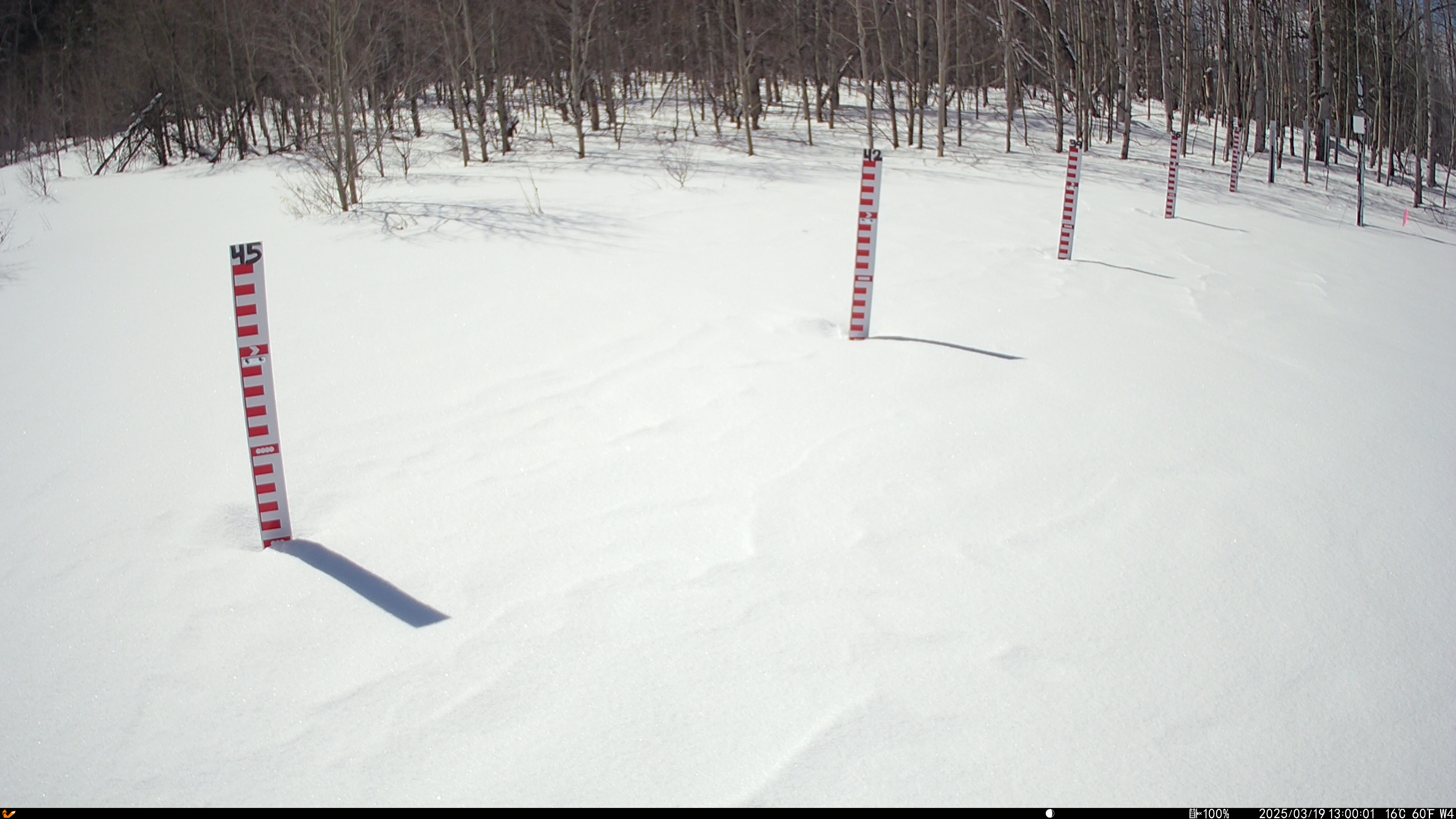
Tracking snow accumulation across time using cameras. See the data and the photos.Timelapse Select a camera to load its timelapse.
Snowtography Visualizer
Pick a camera from the dropdown menu above the map, or click one of the points on the map, to load its timelapse video and its snow observations.
The chart below plots snow depth and SWE for every stake at the selected camera. Switch between one water year at a time and a single continuous timeline, and export the chart as an image or the data as CSV.
Loading...
Video being prepared
This camera's timelapse is generated overnight.
Search by station or camera name, or click a camera on the map.
Observations Snow depth and SWE by stake
WY-Adapt Data Repository | © 2026 | v2.0.0
Funding provided by Grant: NSF OIA 2149105
Funding provided by Grant: NSF OIA 2149105